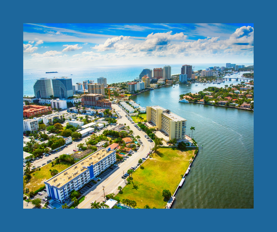
Florida is home to some of the world’s most incredible cities, each with its unique identity and culture. Miami harbors the world’s most extensive collection of Art Deco buildings; Key West is the southernmost city in the continental United States; St. Augustine is the oldest city in the country founded in 1565 by the Spanish. One city, in particular, is said to be built on the water, with the neighboring sea being an active part of its infrastructure and an undeniable aspect of everyday life. Fort Lauderdale, AKA America’s Venice! This gorgeous metropolis was formed alongside vast canals that meander and serpentine across the municipality. But how did Ft. Lauderdale get its canals? And how did a city come to be defined by them? Let’s explore the history of these spectacular waterways!
In 1917, Fort Lauderdale completed the construction of Las Olas Boulevard, redefining a dirt road that crossed the swampy marshes to the coastline. Shortly thereafter, Las Olas Isles was dredged in the early 1920s to create land for the city’s futuristic, most picturesque neighborhood. The city contracted developer Charles G. Rodes who’d previously studied the infrastructure of Venice, Italy – a specific construction technique knowns as “finger islanding,” which creates mini peninsulas that sprout into the neighboring water. This kind of residential construction was done deliberately to entice potential buyers to invest in the city’s most soon-to-be sought-after real estate.
Construction of the first canals began in 1920, with the creation of the finger islands quickly following. In 1925, a real-estate boom occurred in South Florida, and Fort Lauderdale got caught in the frenzy. With a population of only 5,625 inhabitants in 1925, Fort Lauderdale’s land was quickly bought out by outsiders, and the city centered itself on the canals as a defining factor to separate its identity from Miami’s. Shortly, the neighborhood Las Olas was born and it featured some of the most coveted, spectacular views of the city, with magnificent water streets lining gorgeous residential neighborhoods.
In 1926, developer W. F. Morang and his company W. F. Morang & Sons, Inc., finished developing additional finger islands around the city by dredging additional marshes. The results were 80 acres of manicured land, later called the Seven Isles – a district parallel to Las Olas. Additional canals were constructed that gave way to yet another neighborhood, Rio Vista Isles. Roads, bridges, and additional homes were also built to propagate Fort Lauderdale’s beautification.
Then, tragedy struck. The same year, Fort Lauderdale was devastated by the Great Miami Hurricane of 1926. The entire city was decimated; and just a few years later, in 1929, the Great Depression unleashed on Fort Lauderdale, causing financial disaster to the already damaged city. Many new residents evacuated the area, leaving behind rotting remnants of homes, with no running water and no hope in sight. Many believed that Fort Lauderdale would never recover and that Miami would absorb the displaced locals looking for new opportunities.
Nonetheless, in time, the city reinvested in its infrastructure and placed additional attention on the canals. During the following decades, newcomers moved into the city and they too reinvigorated Fort Lauderdale’s popularity; the canals’ covetousness returned and the once destroyed neighborhoods of Las Olas and Seven Isles once again became the city’s most desired real estate market. Mansions were built on the finger islands, and bigger, better domiciles quickly blossomed adjacent to the water streets.
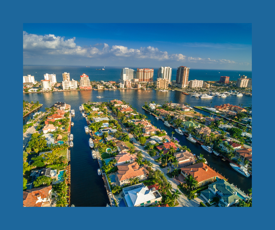
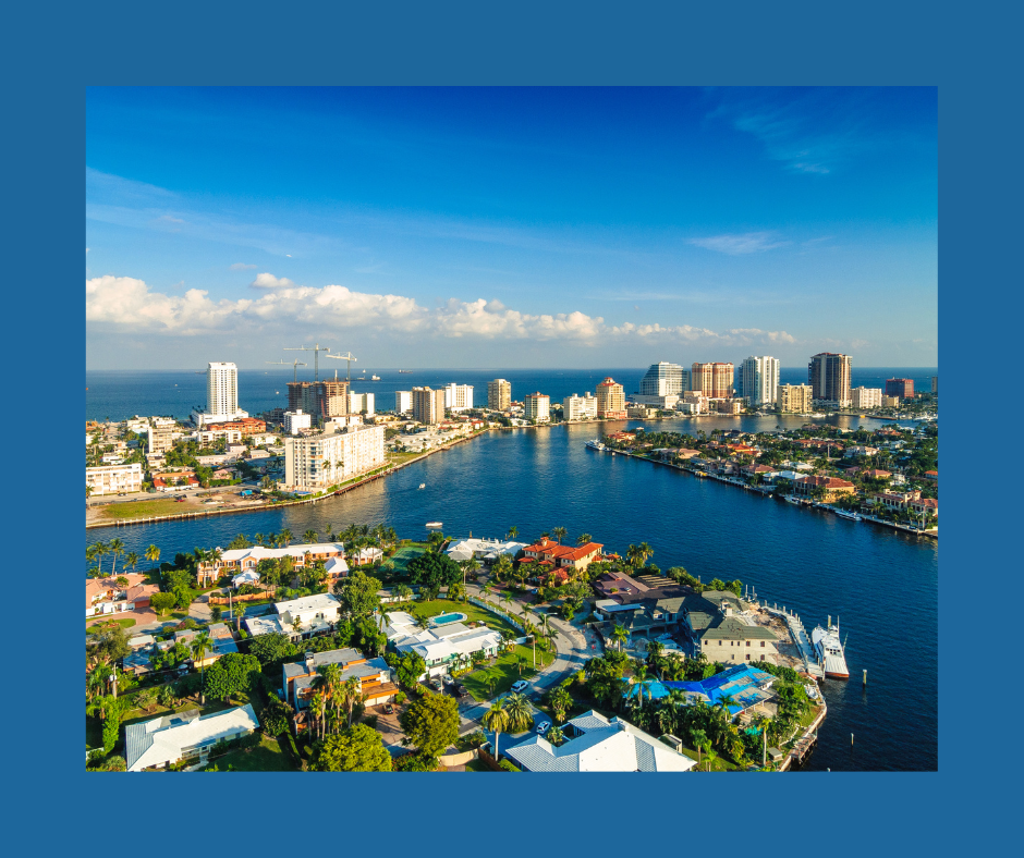
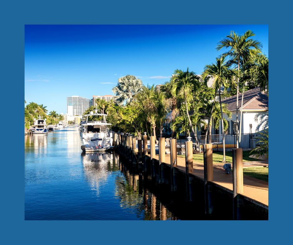
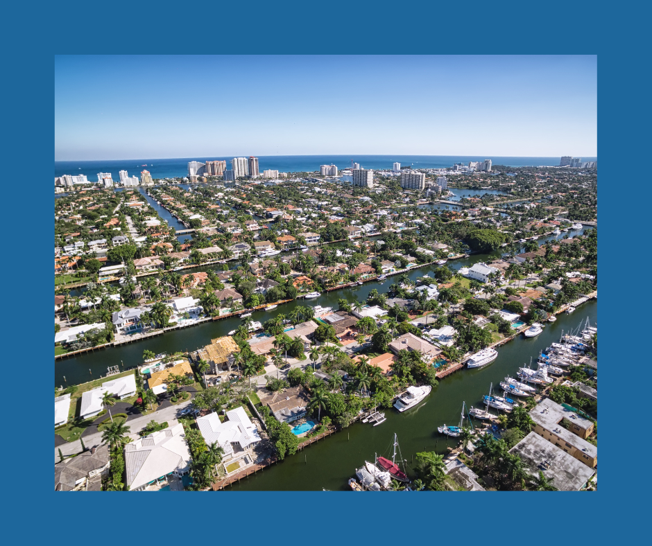
Now, in recent times, Fort Lauderdale now sports more than 300 miles of navigable canals – 165 miles designated as residential canals. Boats, jets, yachts, and gondolas all traverse these canals daily, and the residents of Fort Lauderdale are as familiar with the waters of the Atlantic as the Venetians are with the waters of the Mediterranean. What the Italians saw as mechanisms to control the capricious sea, Floridians, and more specifically, Fort Lauderdalers, found true beauty and utility in canals.
♦
With Gray Line Miami, explore all the wonders and thrills of Fort Lauderdale! Just a mere 40 minutes north of Miami, it’s a city full of history, breathtaking canals, and gorgeous seaside views. Ft. Lauderdale is rich with delicious tastes and sounds, offering a vast selection of activities that fulfill the ultimate summer dreams. Discover the magic of Ft. Lauderdale’s canals in a cruise down the New River, and on this guided tour uncover just how spectacular America’s Venice is! Book today!